6 walking and hiking trails in and around Schwarzenberg for every level

Spring has arrived, bringing warm temperatures and much-desired sunshine to the Lucerne region. Both paws and two-legged friends are drawn outside to get some exercise, breathe fresh air, and connect with nature. Villa Bunterhund is not only the ideal holiday spot for your furry friend, but the beautiful Schwarzenberg also offers plenty of trails for every level to enjoy a wonderful day in nature with your four-legged companion. We'll introduce you to our favorite trails in and around Schwarzenberg!

  • The circular trail of approx. 3.7 kilometres takes you and your furry friend past the green hills of beautiful Schwarzenberg.

    You start your walk at the Restaurant Rössli, from where you can comfortably return to Malters by bus after your walk. Surrounded by greenery, farms and plenty of fresh air, you can wonderfully relax in this little world.

    You follow the hiking trail to Bodenmatt and return via Furtigen to Schwarzenberg, enjoying Schwarzenberg's nature for a good hour. This small but lovely round can be ideally concluded with a coffee or lunch at the Restaurant Rössli.

    Difficulty: 🐕
    Ascent:
    105 m
    Duration: approx. 1 hour
    Route:
    Restaurant Rössli - Bodenmatt - Furtigen - Restaurant Rössli

  • The starting point for this approx. 2.5-hour walk with an ascent of approx. 200 meters is directly at Villa Bunterhund.

    From here, follow the yellow-marked hiking trail up to Frohmatt and then across lush green meadows, past a cute donkey in the stable and free-grazing llamas to Chrüzhubel, which offers you a breather and wonderful views of the Ochs and Mittaggüpfi.

    Those who want to go even higher follow the forest path uphill, which leads past the (fenced) cow pasture and, with the Pilatus to your right, to the most wonderful view in Schwarzenberg.

    From the bend between Chrüzhubel and Schürhofstrasse, the viewer is afforded, in good weather, the perfect view of Lucerne, Lake Lucerne and the surrounding Alpine panorama.

    From here, avid hikers and their paws can continue on to Kriens. We usually turn back at this point and retrace our steps.

  • Information

    Difficulty: 🐕🐕

    Altitude difference: 200 m

    Duration: approx. 2.5 hours
    Route: Lifelen - Frohmatt - Chrüzhubel - Lehn - Chrüzhubel - Frohmatt - Lifelen

  • Whether you and your paw-friend are longing for a short or longer walk, the two natural destinations Moos and Meiestoss both promise plenty of greenery, dense forests and – for particularly athletic owners – a fitness trail.

    From the Lifelen stop, simply follow the yellow-marked hiking trail up to the ridge. The view of the beautiful Schwarzenberg from up here is always breathtaking. Those who continue on will be rewarded with a dense fir forest leading to 'Moos'.

    There you will find a barbecue area with wood, so that on particularly nice days, the walk can also turn into a picnic. From here, the small circular trail, which runs along the fitness course, leads you over the Rümlig stream across wide meadows and via a footpath back to Lifelen.

    Those looking for a longer walk can follow the hiking trail to Meiestoss. A steady ascent of about 45 minutes through the forest leads you to Meiestoss, which offers views of the Eigenthal and the Bawald.

  • Information

    Difficulty:

    Moos: 🐕
    Meiestoss: 🐕🐕

    Elevation difference:

    Moos approx. 80 m
    Meiestoss: approx. 150 m

    Duration:
    Lifelen- Moos - Lifelen: approx. 45 minutes
    Lifelen - Meiestoss - Lifelen: approx. 1.5 hours

For a little pick-me-up

1 of 4
  • The "Zöribänkli Loop" from the Villa Bunterhund parking lot is the ideal walk for you if your paw wants to get to know Schwarzenberg inside and out.

    Your loop starts at Villa Bunterhund and follows the yellow-marked hiking trail to Frohmatt, downhill (with phenomenal mountain views) to Ried and finally to one of Schwarzenberg's many green hills, the Vogel. Via the narrow ridge path over the Schwandenegg, you reach the Zöribänkli, which offers views of the valley from Malters to Werthenstein.

    With renewed energy, you head to the village center and back to Lifelen, with a stop for coffee or ice cream at Restaurant Matt, taking the meadow path that leads to Sonnenrain. Past the stream, uphill one last time, and then Villa Bunterhund comes back into view.

    Difficulty: 🐕🐕

    Elevation gain: 110 m

    Duration: approx. 1.5 hours

    Route: Lifelen - Frohmatt - Ried - Vogel - Zöribänkli - Sonnenrain - Lifelen

  • If you're looking for a hike with your dog, we highly recommend the beautiful panoramic view from the Ochs.

    The ascent from Stäfeli up to Trochenmatt is quite steep, but it rewards hikers and their furry friends with the most breathtaking views of the Lucerne region.

    The subsequent hike along the ridge to the panoramic bench is less demanding, and the return path leads through a forest trail overgrown with moss and pretty flowers, back via Hüenerhubel to Stäfeli.

    By the way, successful conquerors of the summit will find a fun addition at the panoramic bench. Have you discovered it yet?

    Difficulty:
    🐕🐕🐕🐕
    Altitude difference:
    260 m
    Duration: approx. 2 hours
    Route:
    Stäfeli - Trochematt - Hüenerhubel - Ochs - Stäfeli

  • If you and your paw partner are already a well-coordinated team and your activity level allows it, one of the highest peaks in the region invites you to dance (or rather, to hike).

    Steep cliffs, green meadows, and views like few others await you on the Mittaggüpfi.

    You can find everything about this demanding hike, and what you should bring, in our blog post about the Mittaggüpfi.

    This hike requires a very high activity level and experience. Remember that you do not have to, and should not, undertake hikes that challenge you too much. Your health and safety always come first!

    Difficulty:
    🐕🐕🐕🐕🐕
    Altitude difference: 880 m
    Duration: approx. 7 hours
    Route: Gantersei - Unterlauelen - Bründlen - Oberalp - Mittaggüpfi

  • Mom and Dad

    • Water
    • Good footwear
    • Weather-appropriate clothing
    • Snacks/picnic
  • Paw

    • Collar
    • Harness
    • Leash
    • Water bowl
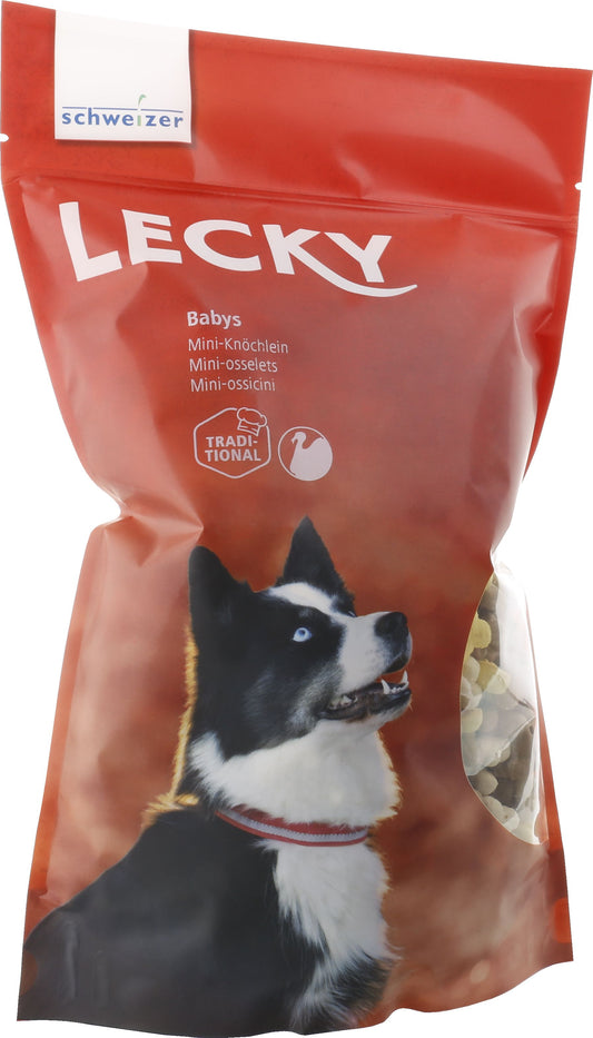
    • Treats
    • First Aid Kit by LILA LOVES IT

1 of 2

Have you already tried one or more of the walking or hiking trails with your paw? What were your experiences?

Do you have a favorite walking trail in your (or our) region that you would like to share with others? Write to us in the comments and send us your pictures of your walks and hikes on Instagram!

With kind thanks to Pro Eigenthal Schwarzenberg, who provided us with their panoramic map for this post. You can find the entire summer map of the region below or here in a convenient PDF format.

Sources:
Image 'View of Schwarzenberg': D. Pašalič
Image 'View of Lucerne': V. Gautschi
Panorama map of Schwarzenberg: Pro Eigenthal Schwarzenberg